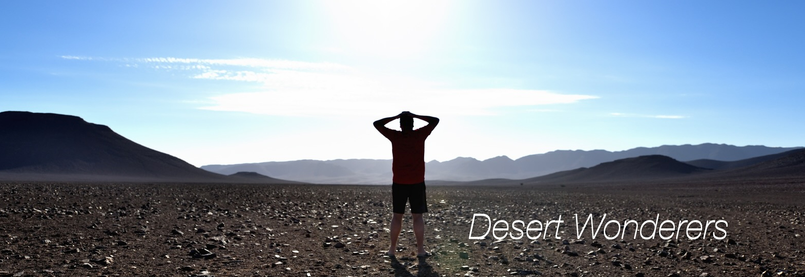
Black Ridge – Kharokhaob plains – Mudorib – Presidents Waterhole (Hoanib)
I think of all the places we stayed in 2020 watching the sun rise on Black Ridge stayeed with us the longest. As the sun got higher it caught the tops of the hills (were they hills or mountains, we had no idea of scale) turning them orange. The orange light ran down the hills into the valley below. In the valley we watched the shadow line retreat over the rocky flloor at a dizzying speed – something to do with the earth spinning at 1000mph; until it finally disappeared and the world was awake.
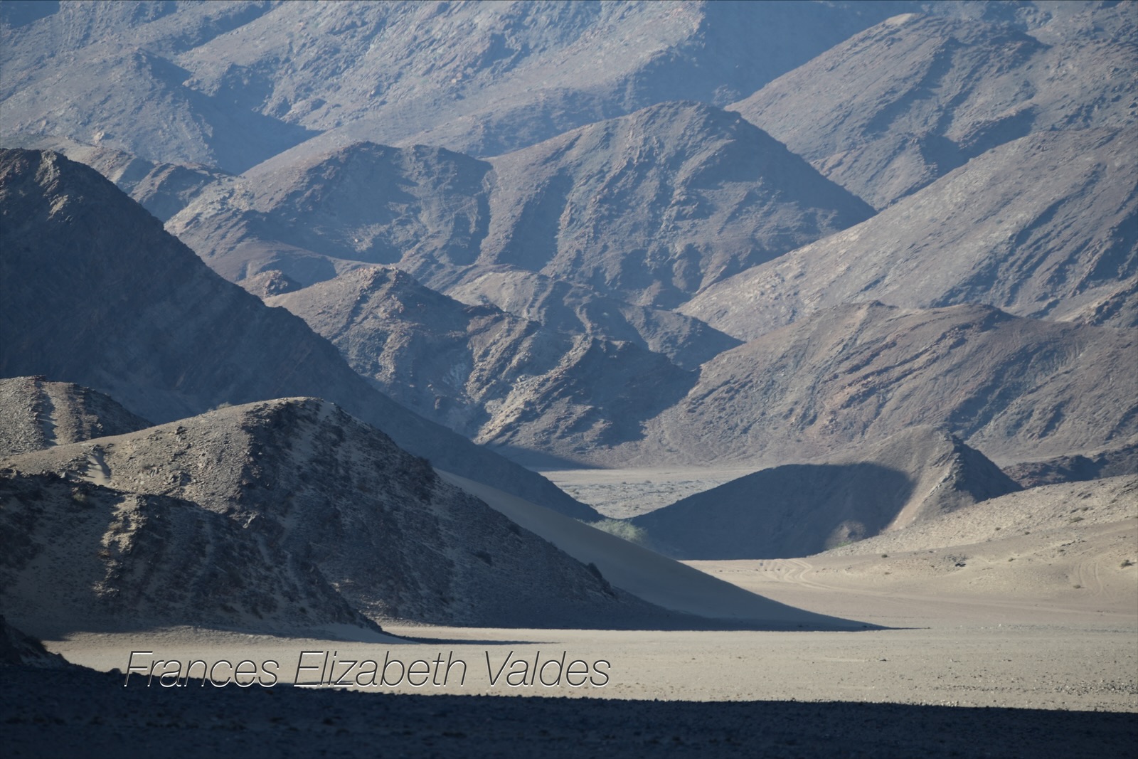
We wanted to make our next camp at the Presidents Waterhole at one end of the Hoanib Valley, but this was only a few hours away. Nigel had been fascinated by Kharokhaob plains in 2020. The plains had made me nervous. They were not on the main track through the concession, and I had visions of the car breaking down there, and no-one finding us. This was completely irrational on many fronts, not least that we had a satellite phone to get help if needed.

In 2020 there had been a herd of oryx, their white and black perfectly coordinated with the plains, but now there was nothing on the plains and only a couple of ostriches .

The plains were littered with small white quartz stones which made them appear almost like a salt pan, very white. Some of the distant hills showed large white streaks, making it possible to trace where the stones had originated, many thousands of years of years previously.
We drove further on to the plains than we had before, trying to get a grip on the extent of the plains. I got nervous again because the Tracks4Africa track had finished, and we started to follow a track not appearing on my trusted app. Nigel had an idea that we could get to the Hoanib by following a track leading out of the plains. He had some kind of open source app he referred to, but I trusted Tracks4Africa, and didn’t want to go where it showed no route.


We had been told that the Hoanib was in flood and we might not be able to cross it, hence Nigel’s desire to find another route. We drove through the plains for several hours, and agreed that if we did not find a route by midday, we would turn around. Midday became 1pm. We turned around, and stopped for lunch, frightening a particularly cute Damara Dik Dik from the shade of one of the few trees.
After lunch we drove back through the plains to re-join the track to the President’s waterhole in the Hoanib.
It was only a few hours to the Presidents Waterhole which marks the Palmweg Concession entrance to Hoanib Valley. The route took us through the valleys eventually ending up in the Mudorib valley. As we drove through the valley vegetation increased. It was still not a great deal of greenery, after all we were still in a desert, but there were some bushes and trees. Clearly there was some ground water even though the area was officially in drought.
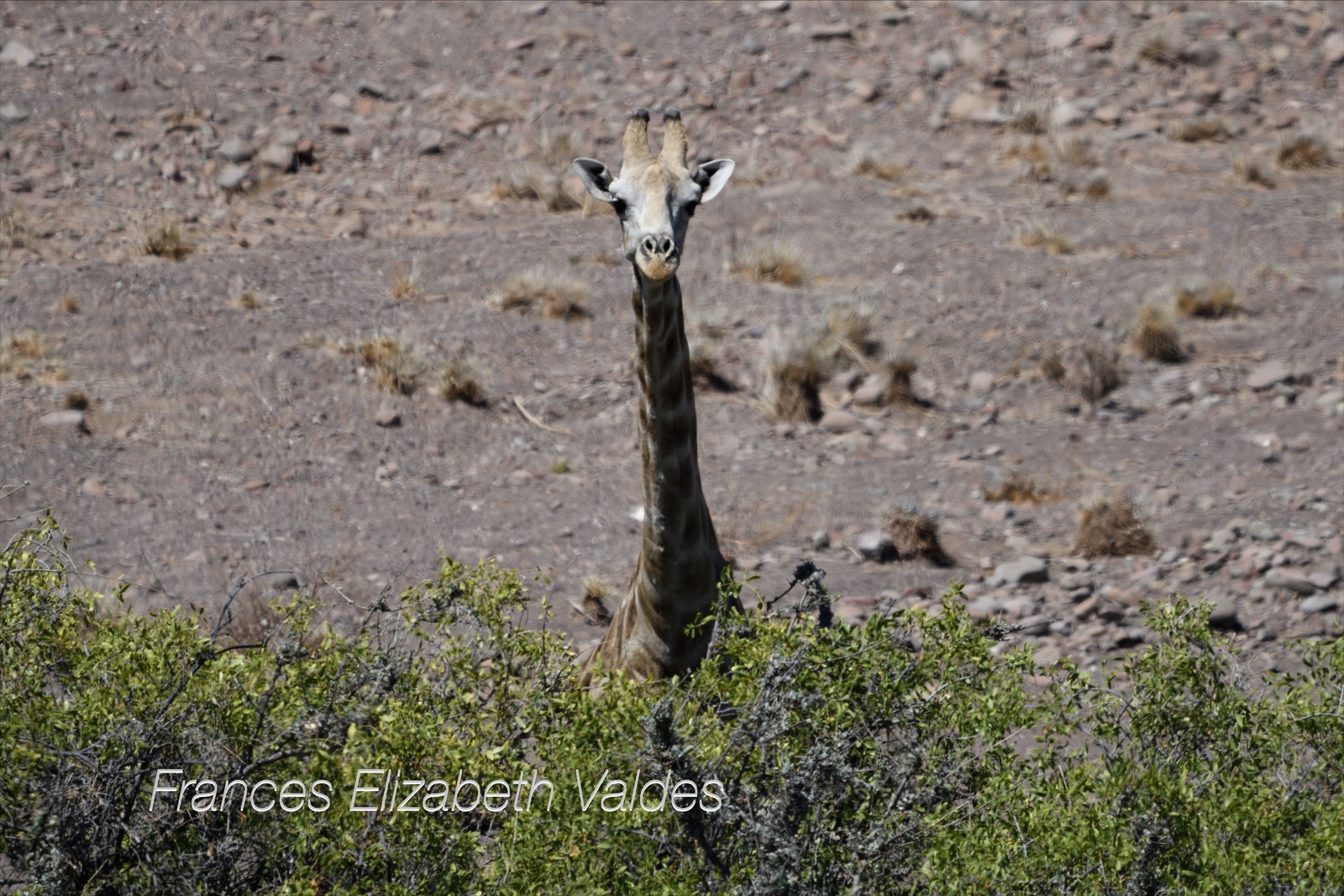
We made camp down the Mudorib Valley, a tributary (if you can call it that when both ‘rivers’ are ephemeral) of the Hoanib, and a little way from the President’s Waterhole,. It was an area we had camped in before, and I’d loved it. In 2020 I had been showering outside the land cruiser when a giraffe walked by. I found it incredible that there I was, soaping up, and a large animal should saunter by.
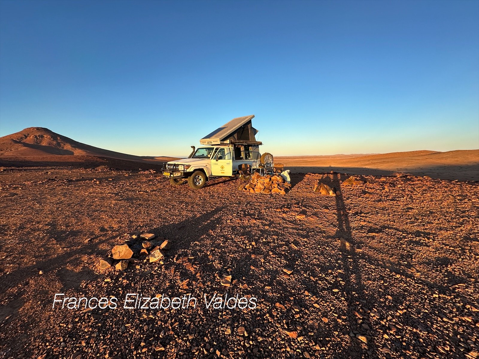
By 5pm the wind was usually strong and relentless, and we again tried to use our car to shelter from the wind. The wind would start mid morning, blowing in from the coast, pulled by the hot air inland, reaching a climax around 5pm. Usually, but not always, it died just after sunset. There is a meteorological reason for this which I needn’t bore you with.